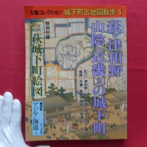
古地図 京都西北部 2万5千分の1 地形図 ◆ 昭和40年 ◆ 京都府
Seller: somei772
| Domestic Shipping (Japan) Paid By: The shipping mentioned here pertains to the delivery from the seller to the BuyJapon warehouse. You will still be responsible for the shipping fee to have the package sent from the BuyJapon warehouse to your address. | Seller |
|---|---|
| Early Finish: If this option is set to "Yes," the seller has the ability to end the auction before the scheduled closing time. The highest bidder at the moment of termination will be declared the winner. | Yes |
| Automatic Extension: If this option is set to "Yes," and a higher bid is placed within the last 5 minutes of the auction, the original ending time will be extended by an additional 5 minutes. This extension will occur each time the highest bid is updated. | Yes |
| Auction ID: | d1098071103 |
| Original Japanese name: | 古地図 京都西北部 2万5千分の1 地形図 ◆ 昭和40年 ◆ 京都府 |
| Japan Local Time: |
Item Description
Translation is provided as a convenience. You agree that you understand the original auction details written in Japanese and are fully responsible to bid on this item.
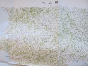
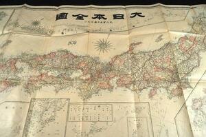
古地図 京都西北部 2万5千分の1 地形図 ◆ 昭和40年 ◆ 京都府
古地図には経年による多少の汚れやシミ、シワ、ヤケがある場合もあります。
(※目立たない書き込みやシミ汚れについては検品中に気づけない場合があります。ご了承くださいませ)
(※全体の大きさの参考として商品の横にサインペンや定規などを置いてある場合がありますが、商品の横に置いてあるサインペンなどは商品には含まれません)
Similar Category Items